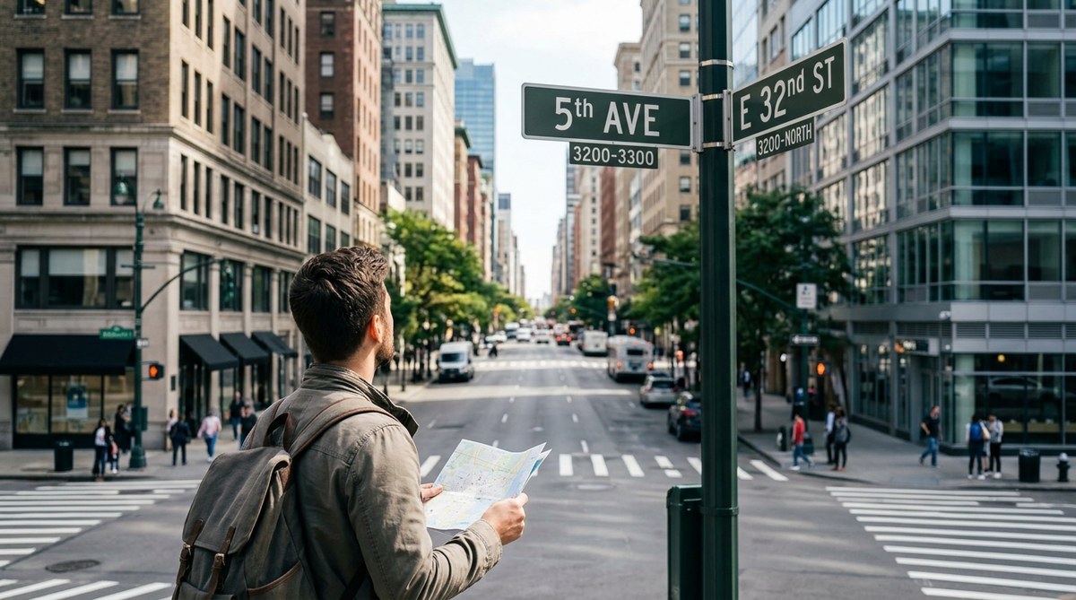
You step off a bus in a neighborhood you have never visited. Your phone battery just died. No GPS. No map. No data signal. For most people, panic sets in. But for anyone who knows how city addresses work, this moment is just another puzzle. Street numbers, block ranges, and naming patterns are all around you. They form a hidden navigation system that works every single time. Once you learn to read them, you can move through any U.S. city with confidence. You do not need a phone. You do not need a paper map. You just need to understand the logic that city planners built into the streets decades ago.
City address systems follow predictable patterns based on grids, cardinal directions, and consistent numbering intervals. By learning to read block numbers, street name hierarchies, and directional prefixes, anyone can navigate unfamiliar neighborhoods without a map or GPS. This skill works in nearly every major U.S. city and becomes faster with practice. Master these patterns, and you will never feel lost again.
Why City Addresses Are Already a Map
Every city in the United States uses a addressing system. Some follow strict grids. Others use organic layouts that grew over time. But all of them share a common goal: make it easy to find a location without needing directions from a person.
The real trick is that the address itself contains everything you need. The number tells you where along a street something sits. The street name tells you the orientation. The suffix (Street, Avenue, Boulevard, Lane) tells you the size and role of that road. The prefix (North, South, East, West) tells you which quadrant you are in.
Here is the core principle: if you can read a house number, you can estimate distance. A jump of 100 numbers usually equals one block. So 1425 Main Street is roughly 14 blocks from the starting point of Main Street. That single fact is the foundation of map-free navigation in the United States.
For a deeper look at how these patterns differ across the country, check out our guide on master urban navigation techniques without using a map.
The Grid System and How to Read It
Most U.S. cities use a grid. Streets run one direction. Avenues run the other. This is not accidental. The grid was adopted because it is the easiest system for humans to memorize and use.
The Manhattan Model
New York City popularized the grid, but versions of it exist everywhere. In a classic grid:
- Streets run east to west
- Avenues run north to south
- Numbered streets increase as you move north (or away from a baseline)
- Numbered avenues increase as you move west (or east, depending on the city)
When you see an address like 345 West 42nd Street, you know immediately that the location is on 42nd Street between 3rd and 4th avenues (because 345 falls in that block range). You also know it is on the west side of the avenue. No map needed.
Many cities use this same logic with minor tweaks. For a guide tailored to specific U.S. regions, read our article on learn to navigate any u.s. city using only your senses and landmarks.
How Block Numbers Work
Block numbering is the secret weapon. Here is the rule:
- Each block gets 100 numbers
- Odd numbers are on one side of the street
- Even numbers are on the other side
So if you are looking for 2100 Broadway, you know it is at the intersection of Broadway and 21st Street. If you are standing at 1700 Broadway, you need to walk four blocks north. This works in almost every city that uses a grid system.
Using Street Name Hierarchies
Not all streets are equal. City planners use suffixes to tell you the function of a road. Learn these, and you can predict traffic patterns, size, and even the type of neighborhood.
- Street – A local road. Usually residential.
- Avenue – A major road. Often commercial.
- Boulevard – A wide road with a median. Often has trees or landscaping.
- Drive – A winding road. Often follows natural terrain.
- Lane – A narrow road. Usually short and residential.
- Way – A small side road. Often in suburban developments.
- Circle – A loop. It returns to itself.
When you know these, you can guess the character of a road before you walk it. If you need to get to a main commercial area, look for an Avenue or a Boulevard. If you need a quiet residential street, look for a Lane or a Way.
Cardinal Directions and Quadrants
Many U.S. cities divide themselves into quadrants. Washington D.C. is the most famous example. NW, NE, SE, SW. Each quadrant has its own numbering system. The U.S. Capitol building is the zero point.
Other cities use North, South, East, and West as street prefixes. In Salt Lake City, for example, State Street is the east-west dividing line. Main Street is the north-south dividing line. Addresses tell you exactly where you are relative to those baselines.
If you are not sure which direction you are facing, look at the street signs. In most cities, the sign will include the block number and the street name. The block number tells you how far you are from the baseline. The direction prefix tells you which quadrant you are in.
For more on using environmental signals like this, see our post on how to use environmental cues for accurate urban wayfinding in 2026.
A Step-by-Step Process for Navigating Without a Map
Here is a practical process you can use the next time you step into an unfamiliar neighborhood without a phone or map.
-
Find a street sign. Look at the block number. If the sign says "3000 S Main St," you are at the 3000 block of South Main Street. The baseline (0) is probably downtown.
-
Identify your target address. If you need to get to 4500 South Main Street, you are 15 blocks away. Each 100 numbers is one block. 4500 minus 3000 equals 1500. That is 15 blocks.
-
Check the direction. If the target number is higher than your current number, you need to go away from the baseline (usually north or east, depending on the city). If it is lower, you go toward the baseline.
-
Walk and count blocks. As you walk, check the block numbers on cross streets. Each block should change the number by 100. If it does not, you may be on the wrong street or heading the wrong direction.
-
Confirm with landmarks. Every few blocks, glance at a visible landmark (a water tower, a tall building, a park) to confirm you are still moving in the right direction.
-
Arrive at the correct block. Once the block number matches your target, look for the specific building. Remember: even numbers are on one side, odd numbers on the other.
This process works in cities of all sizes. For more structured training, check out our guide on master urban navigation without maps using these essential skills.
Common Mistakes and How to Avoid Them
Even experienced navigators make errors. Here is a table of the most common mistakes and the fixes.
| Mistake | Why It Happens | How to Fix It |
|---|---|---|
| Misreading block numbers | You assume every city uses 100 numbers per block | Check the block numbers on two consecutive cross streets to confirm the interval |
| Ignoring direction prefixes | North and South addresses can share the same number | Always note the N, S, E, W before the street name |
| Trusting street names too much | Same street name can appear in multiple quadrants | Use the full address including quadrant and suffix |
| Walking the wrong direction | You forget which direction increases the numbers | Remember: numbers increase as you move away from the city center |
| Confusing suffixes | "Street" and "Avenue" are used differently in different cities | Learn the local pattern. Some cities use "Street" for north-south and "Avenue" for east-west |
Patterns That Break the Rules
Not every city follows the neat grid. Some older cities in the Northeast (Boston, Providence) have streets that follow old cow paths and colonial roads. In those places, the address system is less predictable. But even there, patterns exist.
In Boston, for example, streets are named after local landmarks and historical figures. If you know the history, you can guess the location. Beacon Street runs along the Boston Common. Commonwealth Avenue is the grand boulevard of Back Bay. Washington Street follows the old road to New York.
When you are in an irregular city, shift your strategy. Instead of relying on block numbers, rely on landmarks and street name clusters. Many neighborhoods use themed street names. In one area, all streets might be named after trees. In another, they might be named after presidents. Learn the theme, and you will know which neighborhood you are in.
For more on reading these irregular patterns, read our guide on top tips for developing natural wayfinding skills in urban environments.
Using Visual Cues as Backup
Numbers alone will get you far. But combining them with visual cues makes you almost impossible to confuse.
-
Sun position. In the Northern Hemisphere, the sun rises in the east and sets in the west. At noon, it is roughly south. Use this to confirm your direction when street signs are missing.
-
Building numbers. In most cities, building numbers get higher as you go north and east from the baseline. If you see numbers increasing as you walk, you know your direction.
-
Street sign design. In many cities, street signs have different colors for different directions. In some places, north-south signs are green and east-west signs are white. Learn the local color code.
-
Fire hydrants and utility poles. Some cities paint fire hydrants or mark utility poles with block numbers. Look for these when street signs are hidden.
-
Water towers and church steeples. These tall structures are visible from far away and can serve as fixed reference points. If you see a water tower to your left when you start walking, it should still be to your left if you have not turned.
For a full breakdown of visual navigation techniques, check out how to read the urban environment to navigate without a map in 2026.
What to Do When You Are Completely Lost
Even with all these skills, you will sometimes misjudge. Here is what to do when you realize you are off course.
First, stop walking. Standing still is better than walking in the wrong direction. Look for a street sign. Read the current block number. Compare it to your target. Determine if you went too far or not far enough.
Second, look for a major cross street. If you know the name of a major avenue near your destination, aim for that first. Once you hit the major road, you can navigate from there.
Third, ask a local. But ask the right question. Do not say, "Where is this address?" Instead say, "What block is this street on?" or "Is this the 3000 block or the 4000 block?" Locals know their block numbers even if they do not know every address.
The best navigators are not the ones who never get lost. They are the ones who know how to correct course quickly. Being lost is temporary. Being clueless is a choice.
This piece of advice comes from veteran city explorers who teach orientation skills. If you want to learn from their experience, see our guide on 6 proven strategies for navigating unfamiliar cities like a local.
How to Practice Without Leaving Home
You do not need to be lost in a strange city to build this skill. You can practice from your own neighborhood.
-
Memorize your own block numbers. How far is your house from the nearest major intersection? What is the baseline for your city? Where is the zero point?
-
Study a map of your city for five minutes. Focus on the grid pattern, the quadrant divisions, and the numbering system. Then close the map and try to recall the layout from memory.
-
Pick a random address across town. Without looking at a map, try to estimate how many blocks away it is. Then check a map and see how close you were.
-
Walk a route without your phone. Use only street signs and block numbers. If you get turned around, stop and read the signs before you check your phone.
-
Practice in a new neighborhood every week. Go to a part of town you rarely visit. Leave your phone in the car. Navigate using only the address system.
For more exercises like these, read our article on how to train your brain for better urban spatial awareness.
The Seven Essential Address Patterns to Memorize
If you only learn a handful of patterns, learn these seven. They will cover 90 percent of U.S. cities.
- Every 100 numbers equals roughly one block
- Odd addresses are on one side, even on the other
- Street suffixes tell you the road size and function
- Direction prefixes (N, S, E, W) tell you the quadrant
- Numbered streets increase as you move away from the city center
- Major roads often have the same name in multiple quadrants
- Block numbers reset at the city boundary in some towns
Internalize these seven rules, and you will never need a map again for basic navigation.
Your New Skill as a Social Connector
Knowing how to navigate without a map does more than save your phone battery. It changes how you relate to a city. You start to see the logic behind the layout. You notice patterns that other people miss. You become the person in the group who always knows which way is north.
This skill also helps in emergencies. If your phone dies during a power outage, you can still move through the city. If you are in a disaster situation where GPS networks are down, you can still reach your destination. For preppers and preparedness-minded people, this is a fundamental survival skill. For travelers, it is the difference between feeling vulnerable and feeling capable.
blockquote
"A city address is a miniature map. Every number, every suffix, every direction letter is a coordinate. Learn to read them, and you carry a map with you at all times."
Putting It All Together in the Real World
Let us walk through one final example. You are standing at the corner of 2200 North 45th Street in Seattle. You need to get to 3100 South 45th Street. What do you do?
First, note that the street name is the same. You are on 45th Street. The number changed from 2200 North to 3100 South. That means you need to move to a different quadrant. The baseline in Seattle is Yesler Way. North of Yesler, addresses use "North." South of Yesler, they use "South."
You are 22 blocks north of Yesler. You need to be 31 blocks south of Yesler. That is a total of 53 blocks. You can walk that in about 45 minutes, or you can take a bus. Either way, you know exactly where you are going without pulling out a phone.
Now you are ready. The next time you step into an unfamiliar city, look at the street signs instead of your screen. Read the block number. Check the direction. Count the blocks. You will arrive at your destination with a smile, and you will remember the route forever.
For more techniques and practice exercises, check out our complete collection of top strategies for navigating cities intuitively in the digital age.