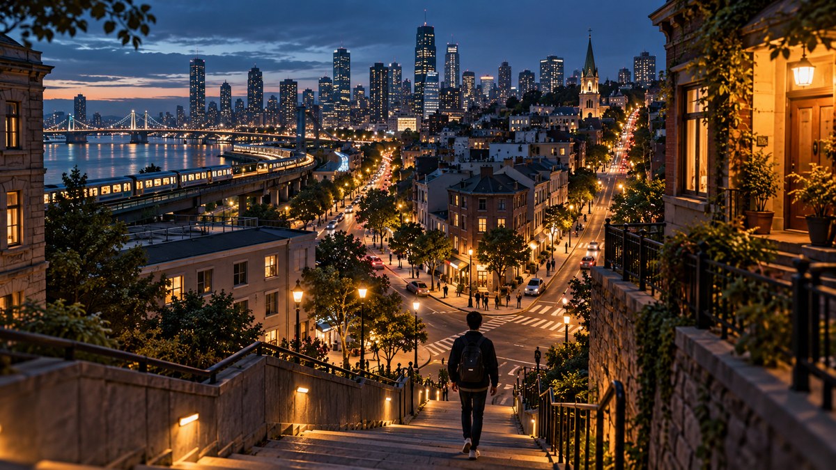
You are standing at a crosswalk after a long day. The GPS on your phone says it will take 18 minutes to walk home along the main boulevard. But something feels off. A side street to your left has heavier foot traffic than usual. The sun is casting long shadows that align perfectly with a diagonal alley. You take the alley, and you get home in 12 minutes. That is not luck. That is pattern recognition. The city is full of subtle clues that reveal the shortest path home. You just need to know where to look.
Cities are designed with invisible shortcuts hidden in plain sight. By learning to read foot traffic patterns, shadow angles, street furniture, and building setbacks, you can find the fastest route home without opening a single app. These eight urban patterns work in any dense city, from Manhattan to San Francisco to Chicago, and they train your brain to think like a local navigator.
Why Your GPS Misses the Best Routes
Navigation apps optimize for the most obvious path. They do not see the alley behind the laundromat. They do not notice that a certain crosswalk is always empty during rush hour. They do not feel the subtle slope of a street that makes walking easier. The quickest route home urban patterns are often invisible to algorithms because they rely on human-scale observations.
Your brain, on the other hand, is a pattern-matching machine. When you learn to read the city’s physical language, you start seeing shortcuts that save you five to ten minutes per trip. Over a year, that adds up to hours of reclaimed time.
The Eight Subtle Urban Patterns That Reveal the Quickest Route Home
1. Foot Traffic Trails
People naturally take the path of least resistance. If you see a worn dirt path cutting across a grassy median or a well-trodden route through a parking lot, follow it. These trails are created by thousands of pedestrians who have already tested every possible route and chosen the fastest one.
Look for:
– Worn grass between sidewalks
– Muddy shortcuts through parks
– Gaps in fences that get regular use
– Pavement that is smoother in certain lanes
2. Shadow Alignment
The sun’s position tells you which streets get direct light and which stay shaded. In a dense city, the quickest route home often follows streets that are in shadow during the hottest part of the day. But more importantly, shadow patterns reveal the grid. If you know the time of day, you can use the angle of shadows to orient yourself and choose the most direct path.
In the morning, shadows point west. In the afternoon, they point east. Use this to confirm your heading without a compass.
3. Building Setbacks and Step-Backs
Older buildings often have subtle architectural features that create covered walkways or semi-private passages. A building that steps back from the street may leave a narrow gap that connects two blocks. These are not always marked on maps.
Scan for:
– Gaps between buildings that are wide enough for one person
– Arcades or colonnades that run through entire blocks
– Loading docks that double as pedestrian passages after hours
4. Street Furniture Patterns
Benches, bus shelters, and newspaper boxes are placed based on pedestrian flow. If you see a cluster of benches on a particular corner, that corner likely sees heavy foot traffic. That traffic is heading somewhere specific. Follow the furniture trail.
More importantly, notice where street furniture is absent. A block with no benches and no bike racks is often a block that pedestrians avoid. That might mean it is slower or less pleasant. The furniture tells you which way people are moving.
5. Alleys and Service Roads
Many American cities have extensive alley networks that are invisible to GPS routing. These alleys were originally designed for deliveries and garbage collection, but they often provide direct connections between parallel streets.
Alley shortcuts work best in:
– Chicago’s grid system
– San Francisco’s residential neighborhoods
– Older East Coast cities like Boston and Philadelphia
6. Gradient and Slope
Your legs work harder on an incline. The quickest route home is not always the shortest in distance. It is the one with the least elevation gain. Pay attention to how water flows after a rain. Storm drains and curb cuts reveal the natural slope of the land.
If you are walking home at the end of the day, choose the route that stays flat or goes slightly downhill. Your body will thank you, and you will move faster.
7. Transit Infrastructure
Bus stops, subway entrances, and light rail stations are placed at natural gathering points. The paths between them are often the most efficient pedestrian routes. If you see a line of people walking from a subway exit toward a particular street, that is a validated shortcut.
Also watch for:
– Crosswalks that are wider than average
– Pedestrian islands in the middle of wide streets
– Countdown timers that give you more time to cross
8. Noise and Sound Cues
Traffic noise is louder on major arteries. If you want a quieter, faster route, listen for the sound of cars. A street that is too loud is likely congested. A street that is calm often has less traffic and more pedestrian shortcuts.
But sound also helps with orientation. The rumble of a subway train can tell you which direction the transit line runs. The echo of footsteps in a tunnel can reveal a hidden passage.
How to Practice Reading Urban Patterns
Start with your daily commute. Tomorrow morning, pick one of these patterns and watch for it. Do not try to use all eight at once. Pick one.
- Choose one pattern to focus on for the week (start with foot traffic trails).
- On your way to work, note three examples of that pattern.
- On your way home, test a route based on that pattern.
- Compare the time to your usual route.
- Add a new pattern each week.
- After one month, combine patterns for maximum efficiency.
- Teach the patterns to a friend. Teaching reinforces your own learning.
Common Mistakes When Reading Urban Patterns
| Mistake | Why It Fails | Better Approach |
|---|---|---|
| Following every worn path | Some trails lead to dead ends or private property | Verify the path with a second cue (shadow or furniture) |
| Relying only on shadows | Clouds and tall buildings block sunlight | Use shadows as a backup, not a primary cue |
| Ignoring safety | Alleys can be unsafe at night | Only use well-lit shortcuts with visible foot traffic |
| Assuming all cities are grids | Boston and Washington D.C. have irregular layouts | Learn the specific pattern language of your city |
| Overthinking | Analysis paralysis slows you down | Trust your gut after a few successful tests |
“The city is a text. Once you learn to read its punctuation, you see the shortcuts that everyone else misses.” – Rebecca Solnit, urban essayist
How to Build a Mental Map Using These Patterns
Your brain creates cognitive maps based on repeated experience. The more you use these patterns, the stronger your internal navigation system becomes. This is the same skill that cab drivers in London develop after years of memorizing streets.
A practical way to start is by reading about master urban navigation techniques without using a map. That guide covers the foundational skills that make pattern reading easier.
For a deeper look at how to train your senses, try the top tips for developing natural wayfinding skills in urban environments. It includes exercises that sharpen your ability to notice subtle cues.
If you want to go completely map-free, the master urban navigation without maps using these essential skills page shows you how to rely entirely on environmental cues.
Which Patterns Work Best in Different Cities
- New York City: Foot traffic trails and street furniture patterns are most reliable. The grid is consistent, so shadows are easy to read.
- San Francisco: Gradient and slope are critical. The hills make elevation the biggest factor in route speed.
- Chicago: Alleys and service roads are abundant. The alley network can cut blocks in half.
- Boston: Noise and sound cues are essential because the streets are irregular. Listen for the T (subway) to orient yourself.
- Washington D.C. : Transit infrastructure patterns work best because the city was designed around the Metro system.
- Los Angeles: Building setbacks and step-backs reveal hidden pedestrian passages between sprawling blocks.
The Science Behind Urban Pattern Reading
Cognitive scientists call this “spatial cognition.” Your brain has specialized neurons called place cells and grid cells that help you navigate. When you practice reading urban patterns, you strengthen those neural pathways. This is why top strategies for navigating cities intuitively in the digital age emphasize real-world practice over app reliance.
Research from the University of California shows that people who navigate without GPS have better spatial memory and are less likely to get lost in unfamiliar areas. They also report feeling more connected to their city.
A Practical Example: Your Evening Commute
Picture this scenario. You leave work at 6:00 PM in downtown Seattle. The GPS says 22 minutes to your apartment. Here is how you use the patterns:
- You notice a worn path through a parking lot that cuts diagonally toward the water. You take it.
- At the end of the lot, you see a gap between two buildings with a bench nearby. The bench confirms pedestrian traffic.
- You walk through the gap and emerge on a quieter street that runs downhill.
- The downhill slope matches the direction of a bus route you know.
- You arrive home in 14 minutes.
That is eight minutes saved by reading three patterns. Over a month, that is nearly three hours.
What to Do When the Patterns Conflict
Sometimes the foot traffic trail goes uphill while the shadow pattern suggests a different direction. When patterns conflict, use this hierarchy:
- Safety first. Never follow a pattern into an unsafe area.
- Gradient matters most for speed. Choose the flatter route.
- Foot traffic trails are validated by hundreds of people. Trust them.
- Shadows and sound are secondary confirmations.
- Street furniture is a tertiary clue.
If two patterns strongly disagree, pick the one that feels most natural and test it. Keep a mental log of which patterns work best in your specific neighborhood.
Turn Your Commute Into a Game
The best way to learn is to make it fun. Challenge yourself to find one new shortcut each week. Take a different route home every day for a month. Keep a notebook of the patterns you observe.
For more advanced techniques, check out master city navigation without maps using natural landmarks and spatial cues. It covers how to use trees, water features, and architectural styles as navigation aids.
If you want to prepare for technology failures, the top strategies for urban wayfinding when technology fails page is a must-read. It covers what to do when your phone dies and you need to find your way home.
Your City Is a Living Map
The quickest route home urban patterns are not secrets. They are visible to anyone who takes the time to look. The next time you step out the door, put your phone in your pocket. Look at the ground. Notice where people walk. Feel the slope of the street. Listen to the hum of the city. The path home is already written in the urban landscape. All you have to do is read it.
Start today. Pick one pattern from this list. Watch for it on your way to work. By the end of the week, you will see your city differently. By the end of the month, you will move through it faster than any app can guide you.